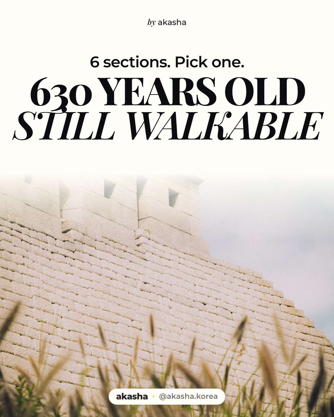
If you want one walk that explains Seoul, take the city wall. Hanyangdoseong is the fortress the Joseon court put around the capital in 1396, and the city keeps the route open as six walking sections that ring the old centre. Pick a section — that decides whether your afternoon is a ridge above the palaces or pavement between office blocks. Then work out which end you start from; your way home hangs on it.
Two of those six sections have no wall. The city says so itself: along the Heunginjimun and Sungnyemun stretches the fortress is gone, built over, and what remains is the line it took. That is the real shape of it: eighteen point six kilometres, six sections, and two of them no longer a wall at all.
So the question was never whether you've walked the Seoul City Wall. It's which of the six, and then a second choice: which of its two ends. Decide both before you leave the hotel, because the two ends of a section are rarely the same trip, and on the two hardest sections only one end has a subway.
Get that right and the wall stops being something you looked at. It becomes a line you got on at one end and off at another, through a city that has been rebuilt around it several times over.
Two of the six have no wall left
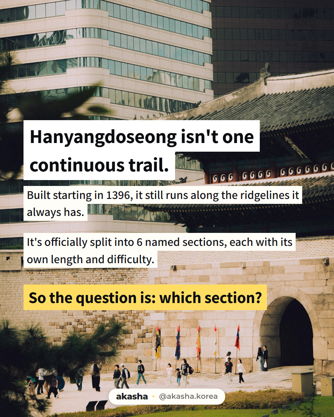
Building started in 1396, and the city's own history page counts the wall in "600-plus years." Counted from 1396, this is year 630.
The official list runs to six: Baegak, Naksan, Heunginjimun, Namsan, Sungnyemun, Inwang. Four carry a distance, a walking time and a difficulty rating. Two don't. The table below is from the official pages, read in September 2026.
| Section | Distance | Official time | Difficulty | Route |
|---|---|---|---|---|
| Naksan | 3.2km | about 1h30 | ★★ (lowest) | Hyehwamun to Heunginjimun |
| Namsan (Mongmyeoksan) | 6.7km | about 3h30 | ★★★ (only medium) | Jangchung Gymnasium to Baekbeom Plaza |
| Inwang | 4.0km | about 2h30 | ★★★★★ (highest) | Donuimun site to Changuimun |
| Baegak | 4.7km | about 3h | ★★★★★ (highest) | Changuimun to Hyehwamun |
| Heunginjimun | not published | not published | not rated | Heunginjimun to Jangchung Gymnasium |
| Sungnyemun | not published | not published | not rated | Baekbeom Plaza to the Donuimun site |
The six link into one ring: each section ends where the next one starts, and not always at a gate. The junctions are where you get on and off.
Inwang is not the middle option
Look at the difficulty column again. Inwang is ★★★★★, the same rating as Baegak. Not one rating below it.
It is shorter than Baegak, 4.0km against 4.7km, and quicker, two and a half hours against three, and neither of those makes it easier. The official page describes a rock mountain and names the boulders on it: Chimabawi, Seonbawi, Gichabawi.
If you have exactly one five-star section in you, I'd take Baegak. Its route is built as stairs, laid as a safety measure on ground that steep.
The genuine middle is Namsan at ★★★, and at 6.7km it is the longest of the four. Hear "medium," book the short afternoon, and you've picked the one that eats the whole day.
The Korean word for the trail
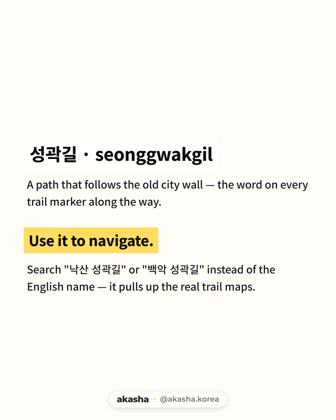
성곽길 · seonggwakgil is a path that follows the old city wall, and it is what you put into a Korean map app.
Search in Korean, not English. Put the section name in front of it: 낙산 성곽길, 백악 성곽길, 인왕 성곽길. The city's English name for the whole thing, "Hanyangdoseong, the Seoul City Wall," names a monument, and monuments do not have routes.
So which one is yours?
Official times are walking times only. They leave out the transit at both ends. Addresses came from Korea Tourism Organization open data on 2026-09-26; exits are the ones the official pages print.
Naksan — if you have half a day, or this is your first stretch of wall.
Lowest of the four published ratings, gentle slope, 3.2km, and a station at both ends. That is why it forgives a late start.
- Start: Hansung University Station, Line 4, Exit 4, three minutes to Hyehwamun
- Aim at: 낙산공원 Naksan Park, 41 Naksan-gil, Jongno-gu, open year-round
- Finish: 흥인지문, 288 Jong-ro, beside Dongdaemun Station, Lines 1 and 4, Exits 5 and 10
Namsan — if you want the walk to pass things you already recognise.
You need three and a half hours plus travel, and it is not a loop.
- Start: Dongdaeipgu Station, Line 3, Exit 5, one minute to 장충체육관 Jangchung Gymnasium, 241 Dongho-ro, Jung-gu
- Through: 남산공원 Seoul Namsan Park, 231 Samil-daero, Jung-gu
- Finish: Baekbeom Plaza, 100-115 Hoehyeon-dong 1-ga, Jung-gu, across the mountain
Baegak — if you came for the ridge behind the palaces.
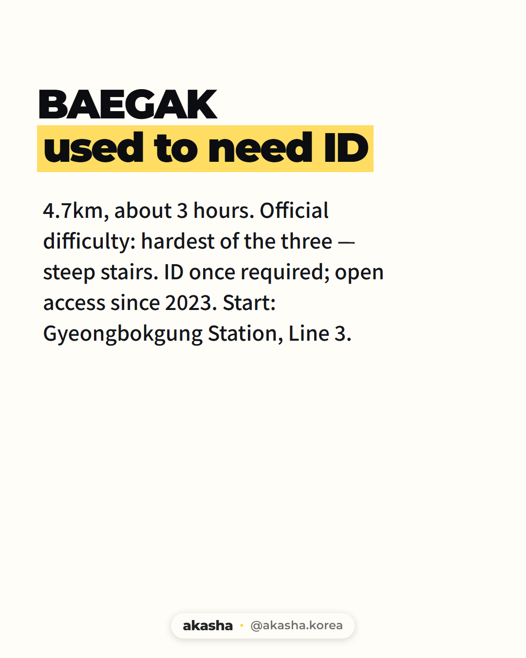
4.7km, three hours, stairs where this route is steepest. Start at Changuimun, the awkward end, while your legs are fresh.
- Start: Gyeongbokgung Station, Line 3, Exit 3, then a local bus to the Jahamun-gogae stop, two minutes on foot
- Trailhead on file: 서울한양도성 백악구간, 종로구 창의문로 118 (부암동). Hand a driver the Korean line
- Finish: Hyehwamun, five minutes from Hansung University Station, Line 4, Exit 5
Walk it the other way and the bus waits for you at the end, on tired legs.
About the ID. Walking Baegak used to mean showing identification at an entry post, with the section shut on Mondays. The heritage authority announced on 2019-04-30 that the ID step went from 1 May that year, and the Monday closure with it. From 1 January 2023 the route moved to self-entry: no gates, no fee, no cap.
| What it says | |
|---|---|
| Live official page, checked 2026-09-25 | Open 24 hours, year-round. Seasonal hours are recommendations only: 09:00–17:00 winter, 07:00–18:00 spring and autumn, to 19:00 summer |
| Undated older notice, same official domain | ID required, Mondays closed |
The rules on this hill have changed more than once, and both pages are still up. Check the official page the week you go, and carry ID regardless, because it weighs nothing.
Keep the Cheong Wa Dae area next door separate: its own schedule, Tuesdays closed, not this section.
Inwang — if you want rock underfoot.
Baegak's equal in effort, because that is what the rating says. Start at the Donuimun end, for two reasons: it is the one a subway reaches, and the official page tells you to use a toilet before you start, because there is none once you are on the hill.
- Start: Seodaemun Station, Line 5, Exit 4, five minutes. Or City Hall Station, Lines 1 and 2, Exit 2, twelve
- Search: the station name and 인왕 성곽길
- Finish: Changuimun, and the bus
Heunginjimun or Sungnyemun — if a climb is off the table today.
You walk the wall's route where the wall itself is gone.
- Heunginjimun: from the gate past Gwanghuimun to Jangchung Gymnasium, addressed above
- Sungnyemun: from Baekbeom Plaza through Jeongdong to the Donuimun site. The 숭례문 landmark on that stretch is at 40 Sejong-daero, Jung-gu, nearest station Hoehyeon, Line 4, Exit 5
Akasha Note Changuimun is the gate to plan around. It is a trailhead with no station on it, and both five-star sections touch it: Baegak starts there, Inwang finishes there. Either way that gate is where you wait for a bus, so decide whether you'd rather do it fresh or tired. Baegak and Naksan, meanwhile, chain cleanly at Hyehwamun: 7.9km, about four and a half hours, one station home.
Before you go
- Baegak and Inwang are both ★★★★★. Inwang being shorter does not make it easier. Namsan is the only ★★★, and the longest of the four that carry a distance.
- Start Inwang at the Donuimun end, the one the subway reaches, and go before you set off — the official page says there is no toilet once you are on the hill. Baegak begins at the other gate, Changuimun.
- Baegak has run on self-entry since 1 January 2023: you walk in, and as of September 2026 nothing is charged or capped. An undated ID notice is still online, so check the official page the week you go.
- Addresses for a driver, looked up 2026-09-26: Naksan Park, 41 Naksan-gil, Jongno-gu. Heunginjimun, 288 Jong-ro, Jongno-gu. Jangchung Gymnasium, 241 Dongho-ro, Jung-gu. Seoul Namsan Park, 231 Samil-daero, Jung-gu. Baegak trailhead, 종로구 창의문로 118.
Send this to whoever you'd have to talk into three hours of stairs, and let them pick their own section.
If the climb falls through, Gyeongbokgung Station is also a stop for the hanbok rental rule, and Bukchon or Ikseondong is the day with no hill in it. Coming off the wall at Heunginjimun at three with nobody to eat with is its own solved problem.
One question for the comments, and I do read them: which section did you walk first, and did you know at the time how it was rated?
Do it with a local Three hours of stairs is a different day depending on whether somebody is at the top of them with you. Akasha, an app for finding local meetups and experiences in Korea, is where people post what they're doing on the day you happen to be free, sound baths to Saturday hikes, alongside trips from registered Korean travel companies. iOS / Android

Who wrote this. I run Akasha and write this blog from Seoul. I haven't walked these six sections; the distances, times and ratings come from the city's official Hanyangdoseong pages, and the access history from the city's own notices and the Korea Heritage Service announcement of 2019 (@chlove_u). More at @akasha.korea.
Addresses from Korea Tourism Organization open data, KOGL Type 1.